Saturday, March 08, 2014

Routeburn: Emily Pass

Two years ago, I was part of a small group of students from the Otago University Tramping Club that made its way to Mt. Xenicus as part of the annual trip to Paradise, New Zealand.  I was challenged beyond my expectations and as a result I became determined to more challenging tramping trips.  

So, when it was time to plan day walks as part of this year's Paradise trip, I raised my hand to lead a difficult one... Maybe, just maybe, there would be other new trampers out there who could make it through a 12+ hour day of walking if I promised lots of encouragement and really awesome views.

I chose to lead a trip to Emily Pass.  The plan was to walk two hours to the Emily Creek Bridge, leave the track to follow the creek up to the basin, go over the pass and down to Mackenzie Hut within five hours, and then hop back on the Routeburn track to follow it for six hours to read the carpark at the Routeburn Shelter.

Oh, how naive I was to think it would be that simple!

We woke up in the dark to choke down breakfast and catch a van ride to the start of the track.  It was a slow going tramp to the basin (note for next year: less bush bashing and more time in the stream bed). 
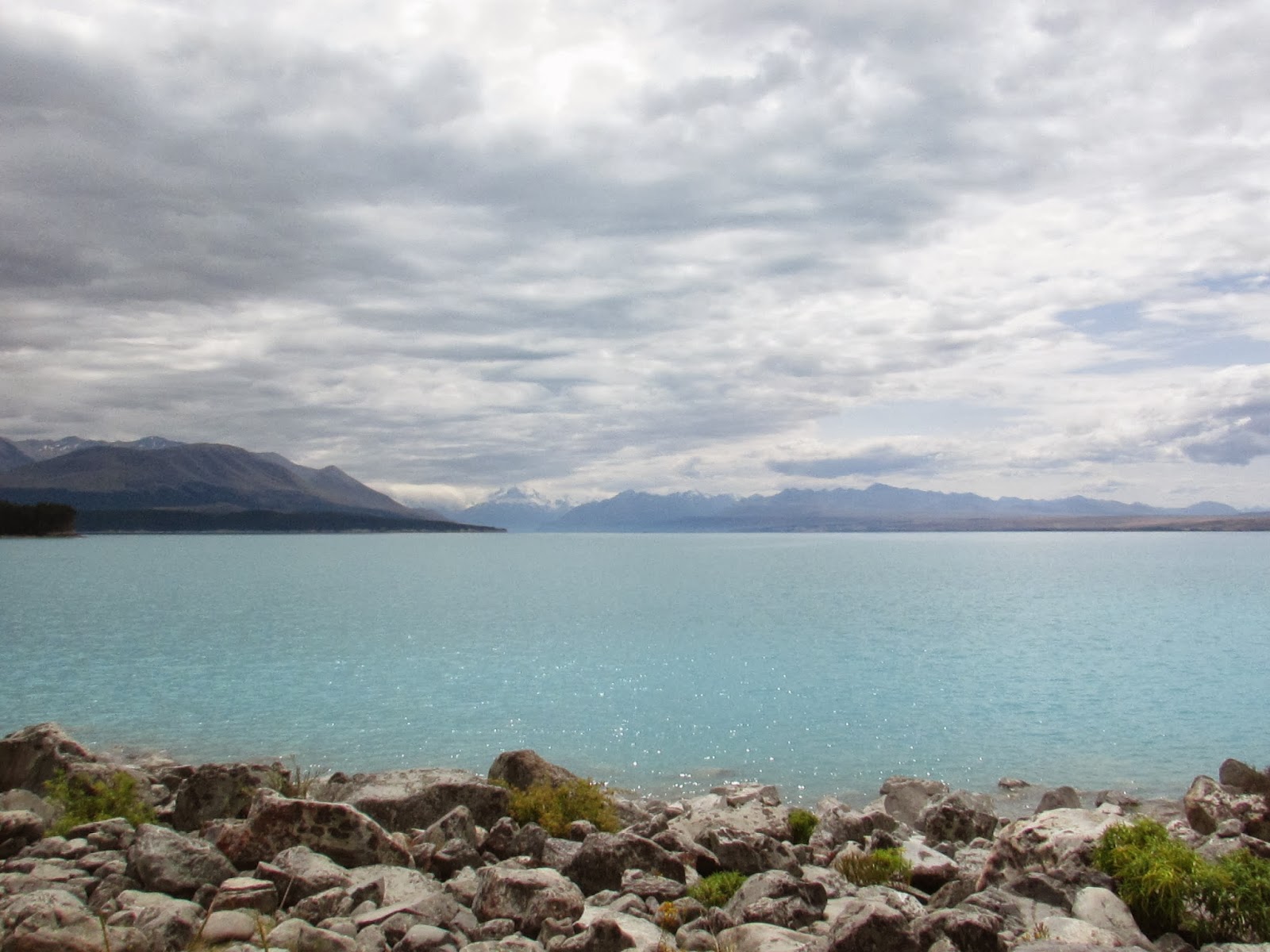
Routeburn Flats

Once in the basin, I could make out the depressions to the right of Emily Peak.  Unfortunately, I misinterpreted Moir's Guide North when it said something about the extreme true left. 

Look how far we'd come!

I went too extreme and lead the group up to something that did not turn out to be Emily Pass. We backtracked and made our way to the correct pass (just a few struggles with the "uncomfortably steep" section that the guide warns about). 

There are three trampers in this photo :)

Chocolate makes everything better

Feeling victorious

From the pass, Mackenzie Lake looked close-ish.  It wasn't. It took a total of 13 hours for my group to get from the car park to the hut... it was supposed to take that much time to do the whole walk!


I made the decision that our group would stay in the hut for the night (Great Walk huts cost $54/night, so it was a costly decision to make for six people).  It was better than dealing with the alpine environment in the dark (we had six to nine hours of walking to go, according to the warden).  The hut warden was AMAZING and radioed someone who went to the campsite to let the club President know my group was safe. 

The next morning we got up in the dark and high-tailed it for five and a half hours to the car park.  Thankfully, there was a van waiting (with a driver!) to take us back to Dunedin. (The rest of the club was to walk to Lake Sylvan, pack up, and head back to Dunedin... I was supposed to drive a van back to Dunedin.)

There were a lot of lessons learned on this trip: food, water, and clothes to stay warm and dry are KEY, club trips aren't the best time to try out a hard route, communication prevents Search and Rescue from being contacted, and a positive attitude keeps the whole group from turning into mental milkshakes.  I've made LOTS of notes about this trip and I hope to lead it next year.

Next weekend is another club trip and I'm leading a group again (with a co-leader!).  This next one will be all on track and we've already planned on staying in a hut.  I'm really looking forward to it!


New Zealand Tour Guide: Part V (Queenstown)

The final destination on our south island tour was Queenstown.  I love this little spot on the water, below the mountains.  Interestingly, it was Jo and Mary's least favorite place!  Queenstown is more crowded than the other towns we visited and so it took a bit to adjust after a week of being on quieter tracks and trails.

Now, I talked and talked to Jo and Mary about a hike up the Ben Lomond track, but when push came to shove we went for the gentler walk up Queenstown Hill (which still requires medium to high fitness).  At the summit, I encouraged Jo and Mary to do fun poses to mimic the ones that I see exchange students in all the time (you know, the kind where the whole group of friends has jumped and the photo is a snap shot of everyone mid-air).  Well, these kind of photos are best left to the under 25 crowd because us older folks just look downright special when we're on top of a hill hopping around.

Here is the least cringe worthy jump shot (seriously):


And, here's where I'm looking a little more foolish:


To preserve my friendship with Jo and Mary I'll refrain from posting their photos!

We decided a cruise on Doubtful Sound would be a great rest day activity (we had done some serious walking everyday for a week by this point).  The weather was typical for Fiordland: rainy.  But, we still had a lovely time puttering around on the water (twice, in each direction).

First boat ride across Manapouri:


At least the rain fed lots and lots of waterfalls!


I hoped to see dolphins on the cruise, but they were hiding. Hmph

Our last big adventure was a loop track with a view of Lake Rere and the surrounding Greenstone track.  


It was a shame we didn't get to spend more time in Fiordland, but I think Jo and Mary got a good taste of New Zealand's changing landscapes.  My next American visitor arrives next month and I'll take this opportunity to see what else New Zealand has on offer: river rafting, luge rides, flying foxes, etc. (I deliberately left out skydiving and bungy jumping!).

Wednesday, March 05, 2014

New Zealand Tour Guide: Part IV (Tekapo and Mt. Cook)

We left Christchurch to drive to Queenstown.  On the way, we stopped to admire Lake Tekapo and walk around Mt. Cook National Park.  The water and mountains in both places were glorious.


This stone church overlooks Lake Tekapo and is quite popular in tourist-y calendars...


Typically, I've stopped at a lookout on the left side of Lake Pukaki to take photos of Mt. Cook, but we found a nice spot from the Kettlehole track to be shutterbugs instead.


I lead Jo and her Aunt Mary down the Hooker Valley.  The valley is seriously amaaaazing (I'd love to see it in winter sometime!).  The walk is easy enough for visitors with a little fitness and determination. You can't see the peak of Mt Cook in this picture.  Aoraki is the Maori name for the mountain and the "cloud piercer" was hiding under clouds until we started heading back to the car.


 I had hiked along the Tasman valley before, but this was my first time walking around the "Blue Lakes".  It was nice to get away from the small crowd that gathered at the nearby lookout to view the Tasman Glacier.

Definitely a quiet picnic spot that I'd recommend.


What's a trip to Mt. Cook village without a little elevation gain?  We walked the Red Tarn track for a new perspective of the area.


I scrambled a little higher above the red tarns... what a view!


Our adventures didn't stop here. No, sir.  Up next: Queenstown...